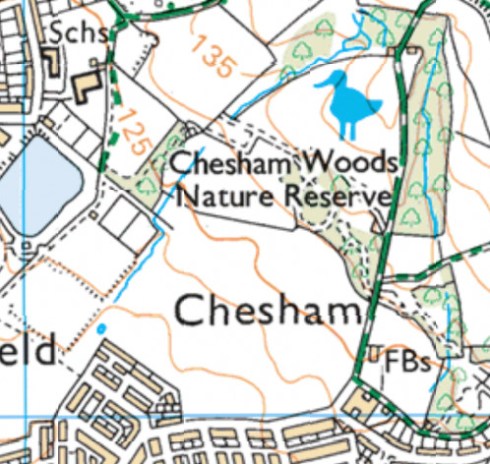
Following Barn Brook northwards from the site of Hudcarr Mill, today’s OS map shows a watercourse skirting the back of Clarence Park skatepark and heading further into Chesham Woods. What does it look like on the ground?
The map shows the stream running downhill by the side of the football fields, but then coming to a stop – with a potential pool a little further on. No sign of a pool, but here’s where the brook disappears, presumably into a culvert below the housing estate at Chesham and headed towards Hudcarr Mill where it meets up with Gypsy Brook.
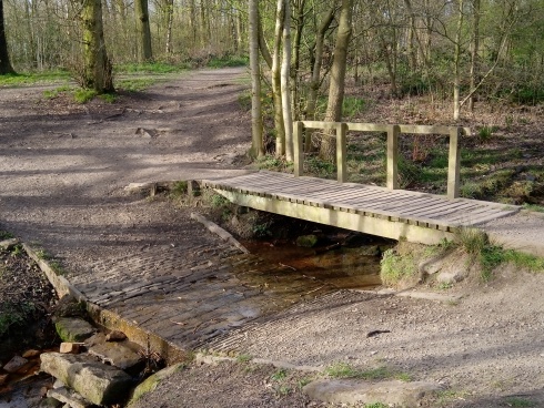
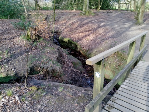
The main path linking the Clarence Park Lido with Chesham Woods appears to have crossed Barn Brook with a ford originally, but this has now been supplemented by a wooden footbridge. Dogs, children and mountain bikers must enjoy making a splash when the brook is in full spate!
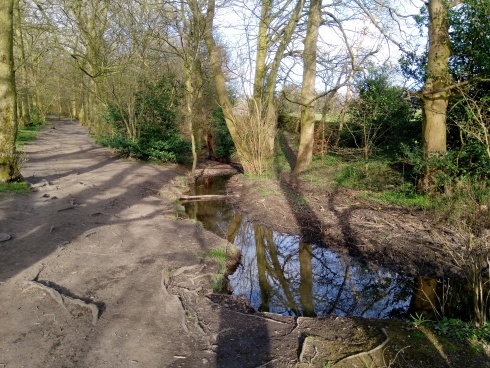
Across a section of open field where the brook disappears into culvert for a while, it emerges once more in Lower Lee Wood, which is a picturesque stretch of woodland popular with walkers.
At the end of the wood, the footpath bears off to the right, but we cross the brook one last time on a wooden footbridge near Chesham Green Cottages.
The 1911 OS map shows a further stretch upstream to the west of Cinder Hill, and whilst this is still there, what the map doesn’t show is the traffic on the M66 thundering past! The lay of the land has changed quite a bit round here: there’s additional earthworks to carry an access bridge over the motorway; and whilst the source of Barn Brook might be a spring that appears on the 1911 map, these days that appears to be a pond on the dogleg of Lowes Park Golf Course’s fourth hole.
