Heading north from Millgate, the Barn Brook is now underground. Looking at the old 1851 map, we can make out its rough path – I’ve highlighted the water features in blue below.

It winds its way roughly parallel with Bridge Street – now there’s a clue in the naming. Which bridge could this street be referencing? Is it the Barn Brook Bridge down at Millgate? Or could it be another bridge further up where we can see two streams meeting, one heading to the east whilst the other continues north towards Hudcarr Cotton Mill?

There’s still some evidence of Barn Brook visible, although this industrial area has changed so much over 150 years. In the yard of local builders’ merchant Jewsons, the brook can be viewed running in a channel near the warehouse. Sadly the yard was closed due to the lockdown, so I was unable to take a photo, but you can clearly see from the aerial photography. On the 1851 map, this appears to be marked as a cotton mill, with the land to the north given over to a millpond – these days it’s used as a metal recycling yard, all concreted over.
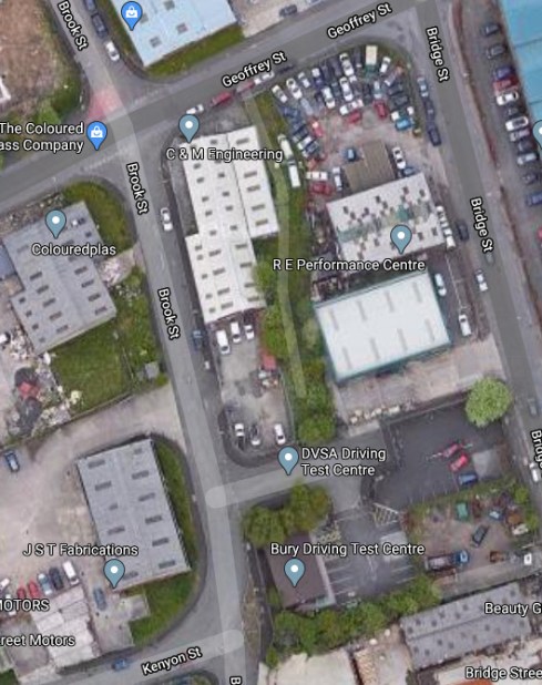
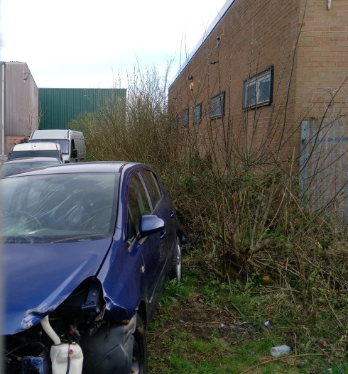
Up near Kenyon Street, one might imagine a line of no development through the DVSA Driving Test Centre car park and then along the route of “Back Brook Street North”. I don’t know a great deal about culverts, but I do know that you can’t build anything too heavy on them in case of collapse. I reckon Barn Brook is somewhere there underneath the scrap cars.
One other interesting find: just next to where I stood taking this photo, an old manhole cover bearing what look like the initials “B.C.D J.W.B”. Somehow connected to the Bury & District Joint Water Board which existed between 1900 and 1935?

But for now we’re at a turning point. This is roughly the spot where the two brooks on the 1851 map diverge. Which way does Barn Brook head? And what of Green Brook and Gypsy Brook as alluded to by Wikipedia?

Leave a comment